REC Consultants is a professional consulting firm offering a wide variety of land use and construction-related consulting services in every level of entitlement throughout Southern California. Our multi-discipline team-oriented approach includes civil engineering / land planning, environmental and biological analysis, land surveying, water resources and GIS services for projects of every shape, size and level of complete land entitlement.
Civil Engineering
REC Consultants’ professionally licensed Civil Engineers provide a wide range of Land Development solutions. Experience, creativity, and innovation drive solutions across diverse site development projects.
In the past decades, water quality became pivotal in project approvals. REC Consultants excels with 40+ years of combined expertise in hydrology and water quality, achieving compact, efficient, and multifunctional facility designs for cost-effective client benefits.
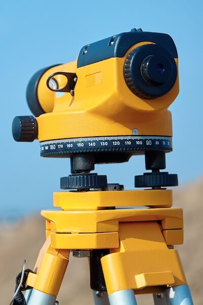
Our expert survey team handles comprehensive survey and mapping for public and private clients, employing advanced equipment for maximum precision. Collaborative coordination enhances efficiency and accuracy.